Galicica Escape: the Trail Between Two Lakes
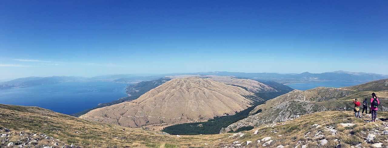
Photo: Liridon, Wikimedia Commons, CC BY-SA 4.0.
There is a moment on Galicica when the walk becomes bigger than the path. Behind you, Lake Ohrid shines deep and blue. Ahead of you, Lake Prespa opens wide and quiet, softer in color, wrapped in fields, reeds and far mountain borders. Between them is only the ridge under your shoes: pale limestone, wind, low flowers, and the feeling that you have stepped onto the roof of Ohrid.
This is one of the most memorable day escapes from Ohrid: a mountain trail where forest shade, rocky crests and two ancient lakes meet in a single view.
- Best season: May to October, with June for flowers and September for clear air.
- Classic route: Lipova Livada / Galicica pass to Magaro Peak and back.
- Typical hike: about 7 to 9 km, usually 4 to 5 hours depending on stops.
- Elevation gain: roughly 600 to 700 m from the pass route.
- Highest point: Magaro Peak, about 2,254 m above sea level.
- Difficulty: moderate, but exposed, rocky and tiring in heat or wind.
The Start
From Ohrid to the Mountain Pass
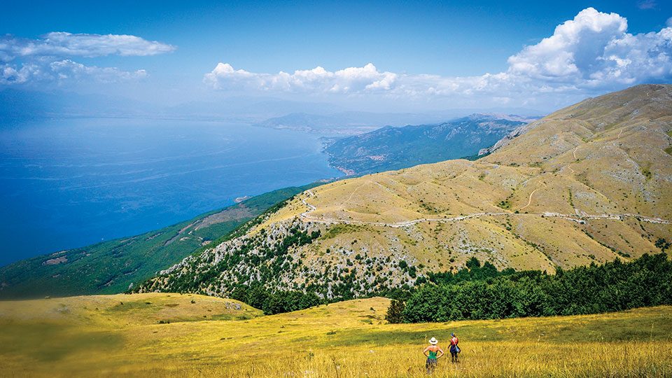
Road climbing into Galicica National Park.
The escape begins long before the first step. From Ohrid, the road follows the lake south, passing villages like Pestani and Trpejca before climbing into Galicica National Park. The turns get tighter, the water falls away below, and the air changes. It smells of pine, dry grass and warm stone.
Most hikers start near Lipova Livada, close to the highest part of the road between Lake Ohrid and Lake Prespa. It is a practical starting point because the trail already begins high on the mountain. Even so, do not treat it like a simple walk. Bring real shoes, water, sun protection and a light jacket. Up here, the weather can change its mind quickly.
The Climb
Forest, Flowers and Limestone
The first part of the trail moves through mountain forest, where the path feels calm and protected. Beech, pine and juniper grow along the slopes, and in late spring the ground can be bright with wildflowers. Galicica is famous for its biodiversity: the national park protects around 24,000 hectares, more than 37 habitat types, and thousands of recorded plant and animal taxa.
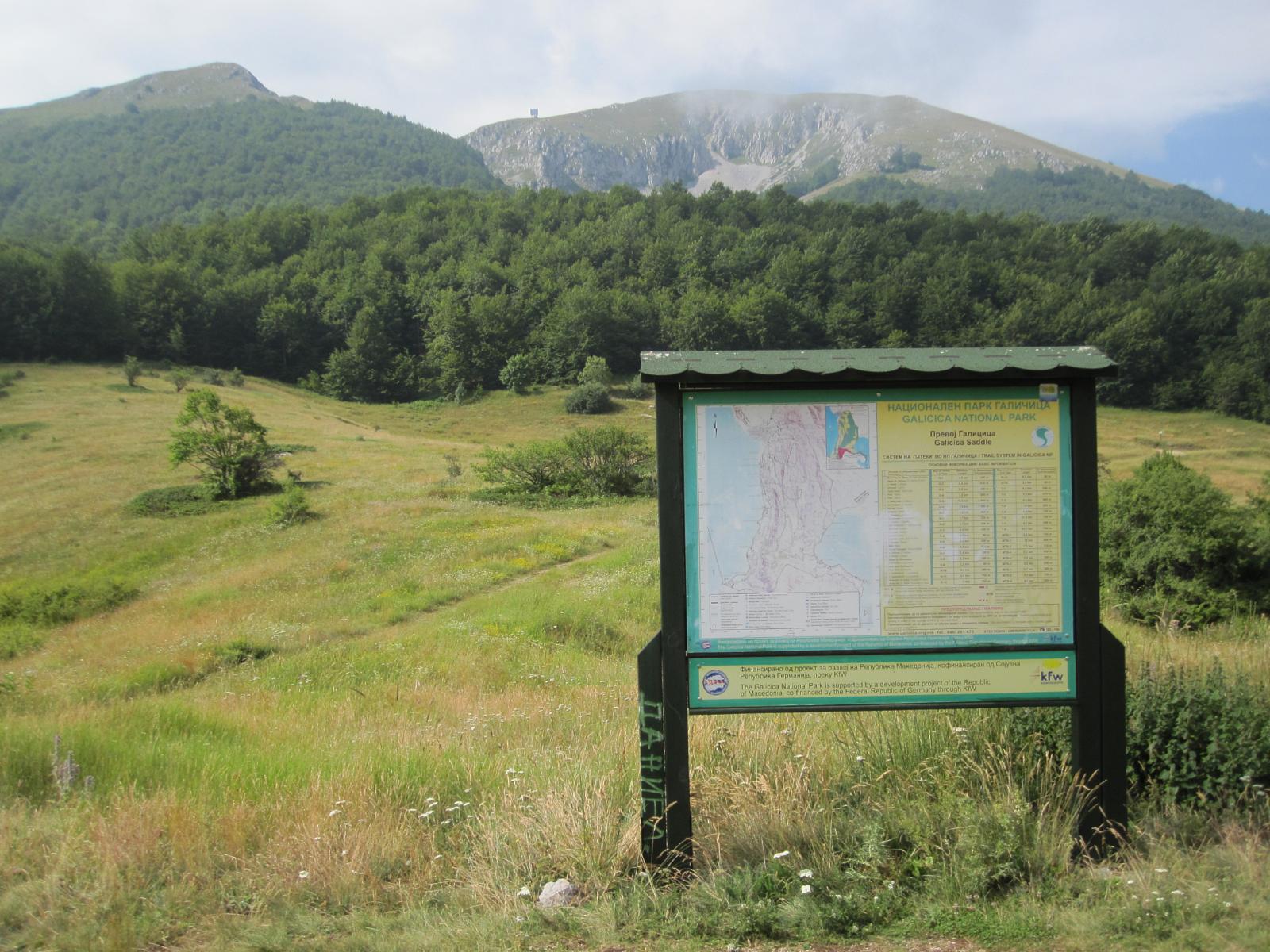
Magaro peak in Galicica National Park.
As the trees thin, the mountain becomes more open. The path crosses karst meadows and limestone rock, with small plants holding on between the stones. You may see butterflies, lizards warming themselves on the rocks, or birds circling on the thermals. Larger animals such as chamois, deer, wolves and bears live in the wider park, but most visitors know them more by their traces than by a direct meeting.
The Ridge
Where the Two Lakes Appear
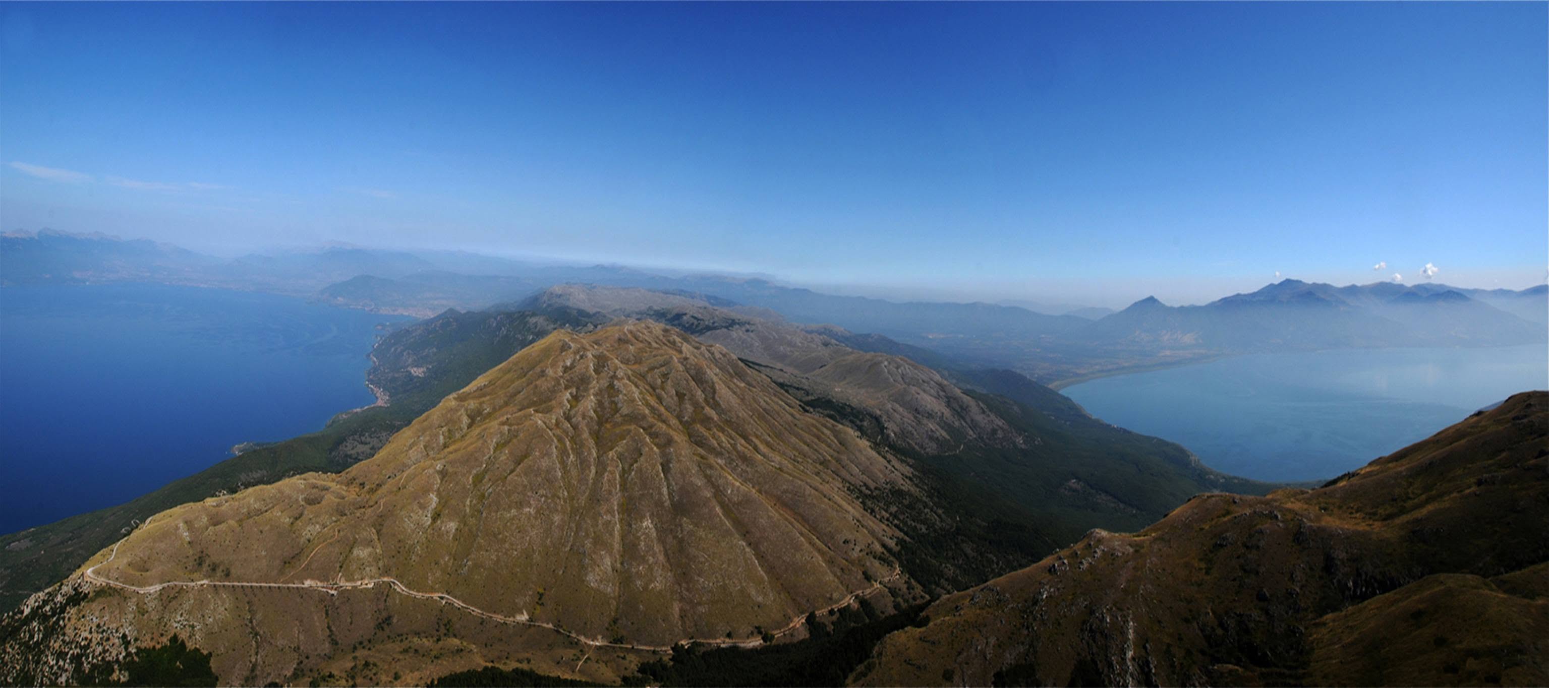
View of both Lake Ohrid and Lake Prespa from the Galicica ridge.
The best part arrives gradually. First you get a blue flash of Ohrid through a gap in the slope. Then Prespa appears on the other side, wider and quieter, sitting higher beyond the mountain. On clear days, the view feels almost impossible: two great lakes, two different landscapes, one rocky crest between them.
The ridge is beautiful, but it is also the hardest part emotionally and physically. There is less shade, the stones are loose in places, and the wind can push hard across the open ground. The trail is not technical, but it asks for focus. Move slowly, watch your footing, and keep enough energy for the descent. Galicica rewards patience more than speed.
The Summit
Magaro Peak and the Big Silence
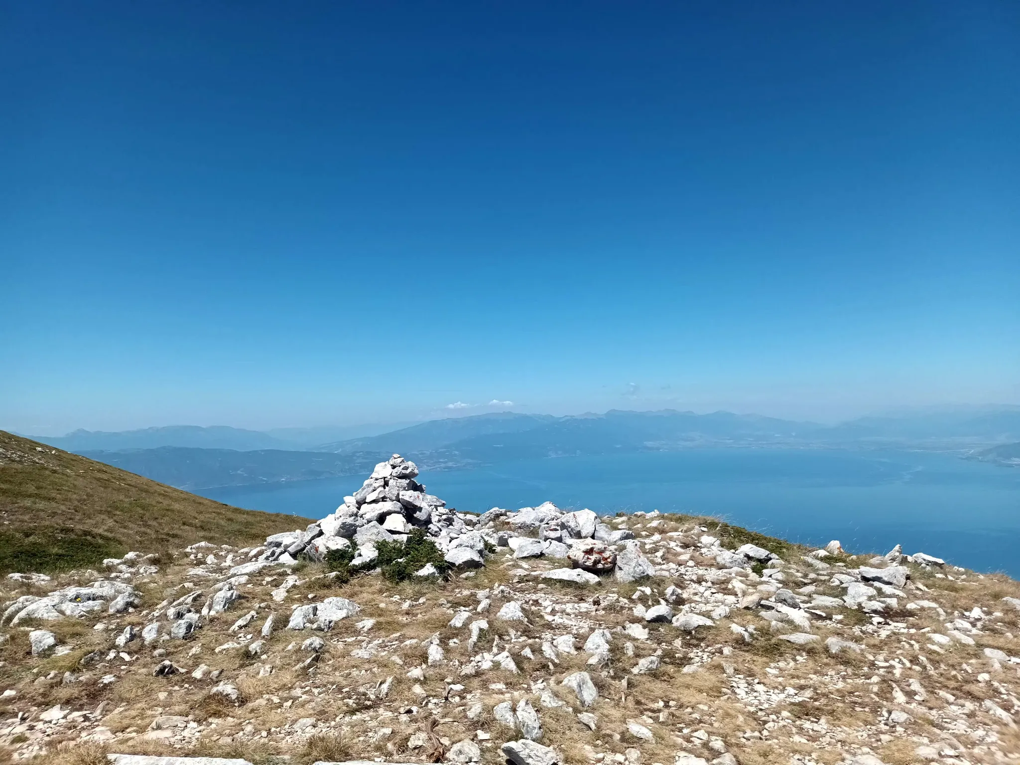
View from Magaro Peak summit, 2254 meters above sea level.
Magaro is the classic goal: the high point most visitors aim for when they say they want the trail between the two lakes. From around 2,254 m, Lake Ohrid drops away on one side and Prespa rests on the other. Albania, Greece and the Macedonian mountains feel close, but the summit itself is quiet. There are no big buildings, no loud attractions, just rock, sky and a huge amount of space.
Stay a little while if the weather is kind. Eat something simple, take photos, and look carefully at the plants around your boots. This is not empty mountain land. It is a living place, full of small, rare things adapted to sun, wind and poor limestone soil.
Map Stops
Useful Points to Save Before You Go
- Galicica National Park - the protected mountain area between Ohrid and Prespa.
- Lipova Livada Pass - common starting area for Magaro and ridge walks.
- Magaro Peak - the classic two-lake summit viewpoint.
- Korita / Koritski Rid - good picnic and viewpoint area on the climb.
- Trpejca - a beautiful lakeside village before the park road turn.
- Stenje, Lake Prespa - a calm Prespa-side stop if you continue over the pass.
Good to Know
How to Make the Day Easier
Start early, especially in summer. The upper mountain has long exposed sections and little water, so carry more than you think you need. A GPS track or offline map is helpful because markings can be unclear in places, especially around junctions and on the return. If there is fog, strong wind or storm risk, save the hike for another day; the view is the whole point, and the ridge is no place to hurry.
After the hike, the best ending is simple: drive back down to the lake, swim at Trpejca or Gradiste, then return to Ohrid tired in the best way. The mountain gives you the drama. The lake gives you the soft landing.
Planning a Galicica escape from Ohrid?
Stay in one of our cozy lakeside apartments and use Ohrid as your easy base
for the trail, the old town, Trpejca, St. Naum and the road to Prespa.
View Our Apartments